|
Geographical location and layout of Heybridge
Basin in arial photographs |
|
|
Click
on underlined blue names for link to more details |
|
|
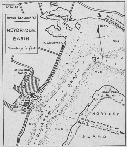
'Heybridge Basin', located in
East Anglia, in the county of Essex on the banks of the Blackwater
Estuary, in the district of the Thurstable Hundred and the Parish
of Heybridge. Isolated from other settlements with limited overland
access or by water from the sea. |
 |
|
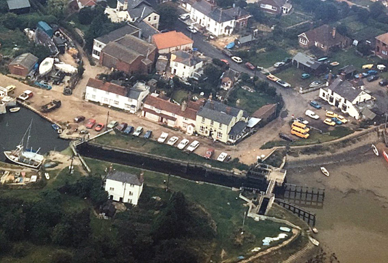
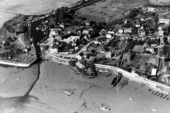
(above) The 'Basin', is a large area at the start of the
Chelmer & Blackwater Canal just inside the lock gates at
the entrance to the sea. |
|
 |
|
(above) The group of cottages in Crossways Lane that was
the 'Boghole' and the earliest cottage/Lockhouse are still standing. |
|
 |
|
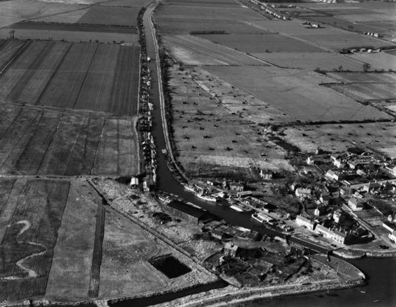
(above) Boats are starting to collect in moorings along
the sea wall. Note the large number of empty barges lying idle
along the village side of the Basin. |
|
 |
|
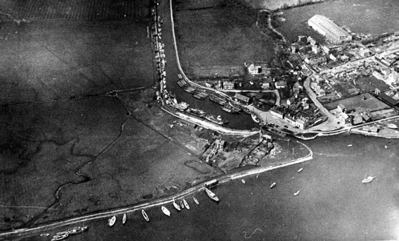
(above) a clear view
of 'Muckers Island' before being developed for commercial use.
Note the new Eel company buildings
between Lock Hill and Basin Road. On the extreme right bottom
are the barge blocks built by 'Dilbury' Clark. |
|
|
|
 |